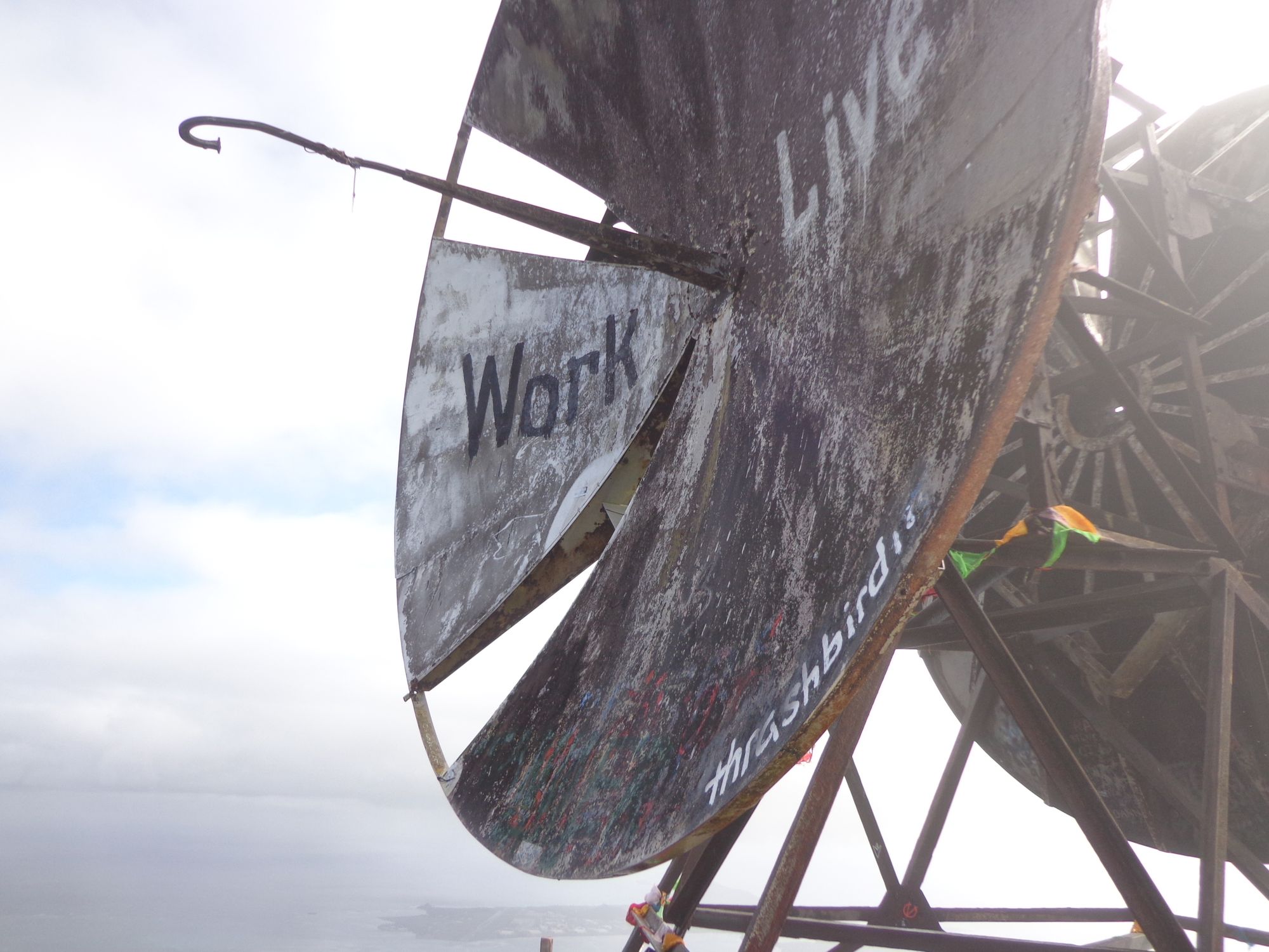
Moanalua Valley Middle Ridge to the Forbidden Haiku Stairs
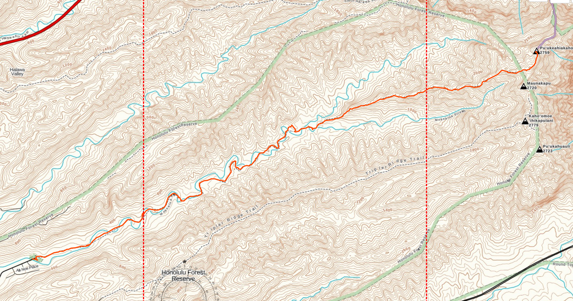
Distance: 9.6 miles
Time To Top: 3 hours 8 minutes
Time Down" 2 hours 25 minutes
Round Trip Time: 6 hours
With a new baby in the family, it was time to pack up and head back to Hawaii to see the new little guy. I also took this opportunity to get some hiking in. Last time, I did Diamond Head and Koko Head craters.
This time I wanted to tackle something a bit more challenging and after some research and questions on Reddit, settled on the Moanalua Valley trail to the radio tower than is also the end of the Haiku Stairs (Stairway to Heaven). This trail is the legal way to reach the abandoned radio station as hiking the stairs carries a $1000 fine.
I used AllTrails as my primary resource on this one. The page for this hike was extremely helpful for knowing what to expect AND for detailing the all important turn-off from the main trail. Also, this speed and elevation chart are pretty nifty.

Gear
Reading through some other trip reports I decided to take my micro-spikes with me as the trail was rumored to be extreme muddy and slick. I also only took a single liter of water and a few snacks as this trail seemed to be taking people about 5-6 hours.
Things that I wish I has brought were:
- My hiking sandals. There are multiple river crossings and there is little chance of your feet staying dry. I wish I had worn hiking sandals for the lower portion of the trail, switching to hiking boots and spikes once the real uphill portion started.
- Gaiters. These may have kept my feet a littler drier at the river crossings. Also the trail is very narrow in places so you are constantly scratching up against things. Lastly, giving the amount of mud, they would also help to keep mud from your boots off of your legs.
- Trekking poles. I did not feel a need for them on the way up but on the way down I think they would have saved a lot of abuse on the knees.
- A wind breaker and/or rain jacket might be needed depending on the weather. I was cold in a few spots but ended up not needed any additional layers. Not being from Hawaii, I am not sure if if ever gets cold enough to require more.

The Hike
I started my hike by taking a Lyft from our hotel and arrived at the trail head at 0615. I wanted to get an early start to beat traffic and to preserve more of my day for other things.
Sunrise was not until 0655 and given the depth of the Moanalua Valley, I hiked in the dark for almost an hour. The initial part of the trail is an old road so hiking in the dark was pretty simple. I would probably not want to start earlier than that because just the sun started to give the valley some light, I started hitting the river crossings and really muddy spots.
I was lulled into a false sense of security because the first few crossings have bridges over them. But after those few (5 or 6 maybe) the crossings has to be crossed directly. I stopped to remove my shoes at the first crossing and gave up after that. I remembered a post that I had read previously that said it was a futile effort.
At some point, I lost the trail and did a scramble up a nearly shear mud cliff. After this I lost the trail and consulted my GPS app (Gaia GPS) and got myself back to the trail. On the way back down I found where I made the mistake. There is a wooded area near one of the river crossings that has a split trail...I needed to go right but went left.
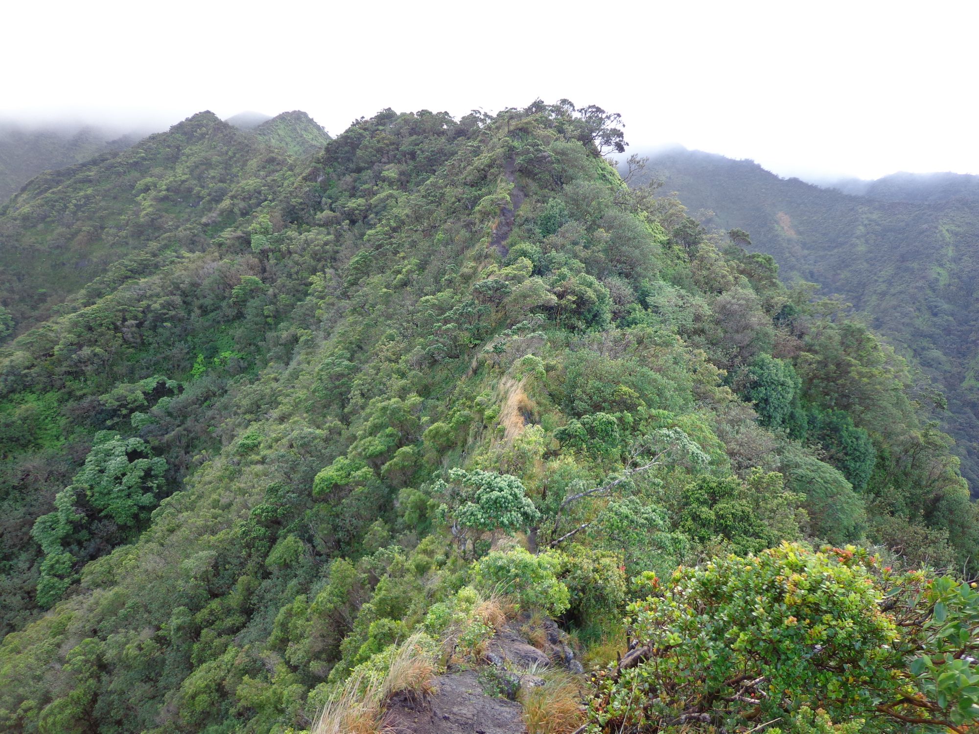
Back on the trail, I easily found the branch off from the valley trail to start the hike up the middle ridge. I am not sure I would have found that without the information I found prior to starting.
This is when the real hike started. The elevation gain is serious and knowing that there is a full two miles of this remaining makes the trip pretty grueling. There are many sections with ropes. The ropes are useful but not necessary. I felt like my micro-spikes were sufficient for traction. Overall, I was surprised at how wet the exposed ridge was. Almost the entire ridge trail was a sheer drop on either side and was exposed to fairly strong winds. Regardless, there was a lot of standing water and mud pools.
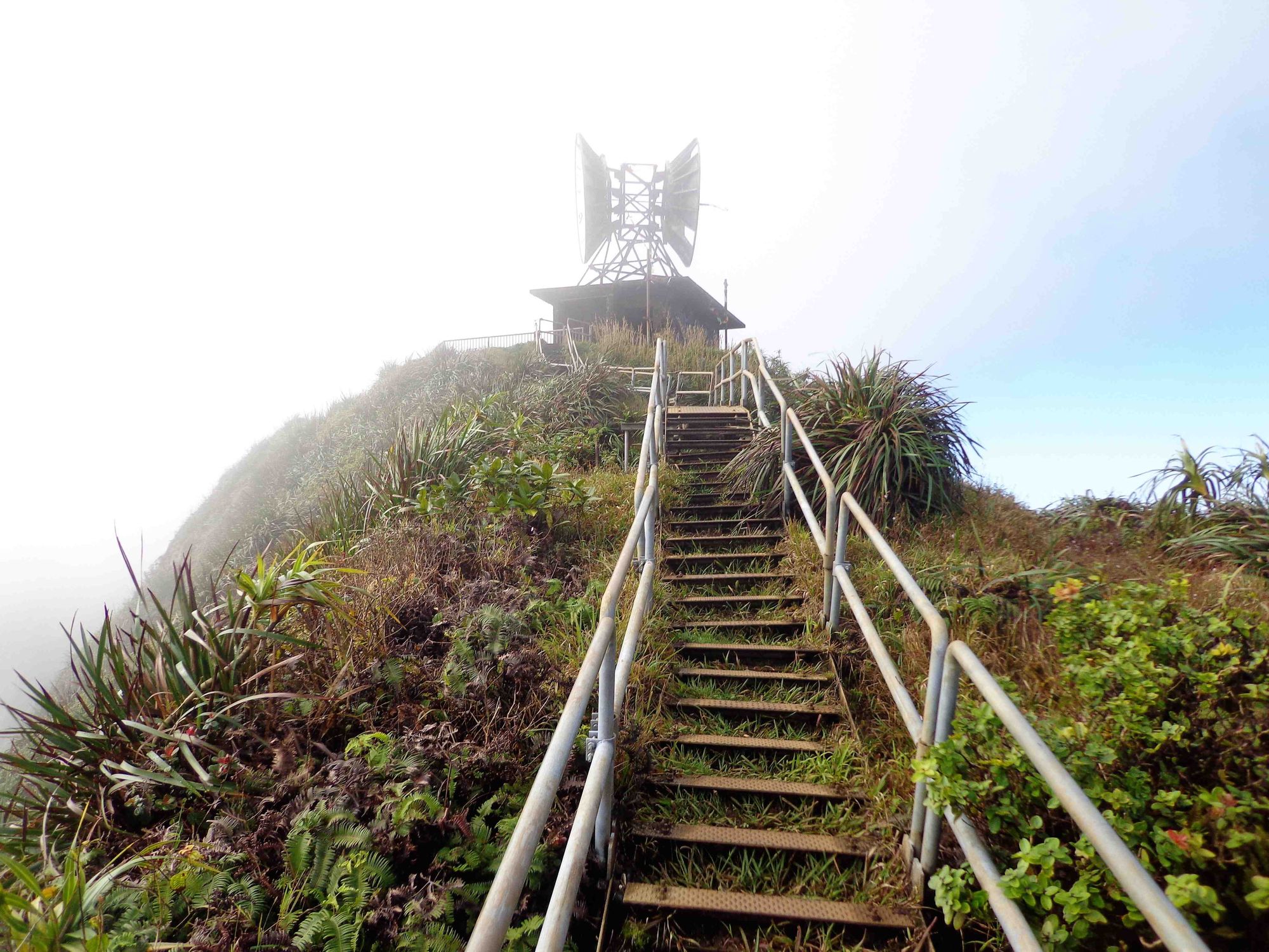
At one point I finally crested a ridge that gave me an awesome cloud engulfed view of the abandoned radio tower. From here, it was still a tough hike up to the peak adjacent to the tower before descending across the saddle to the tower itself.
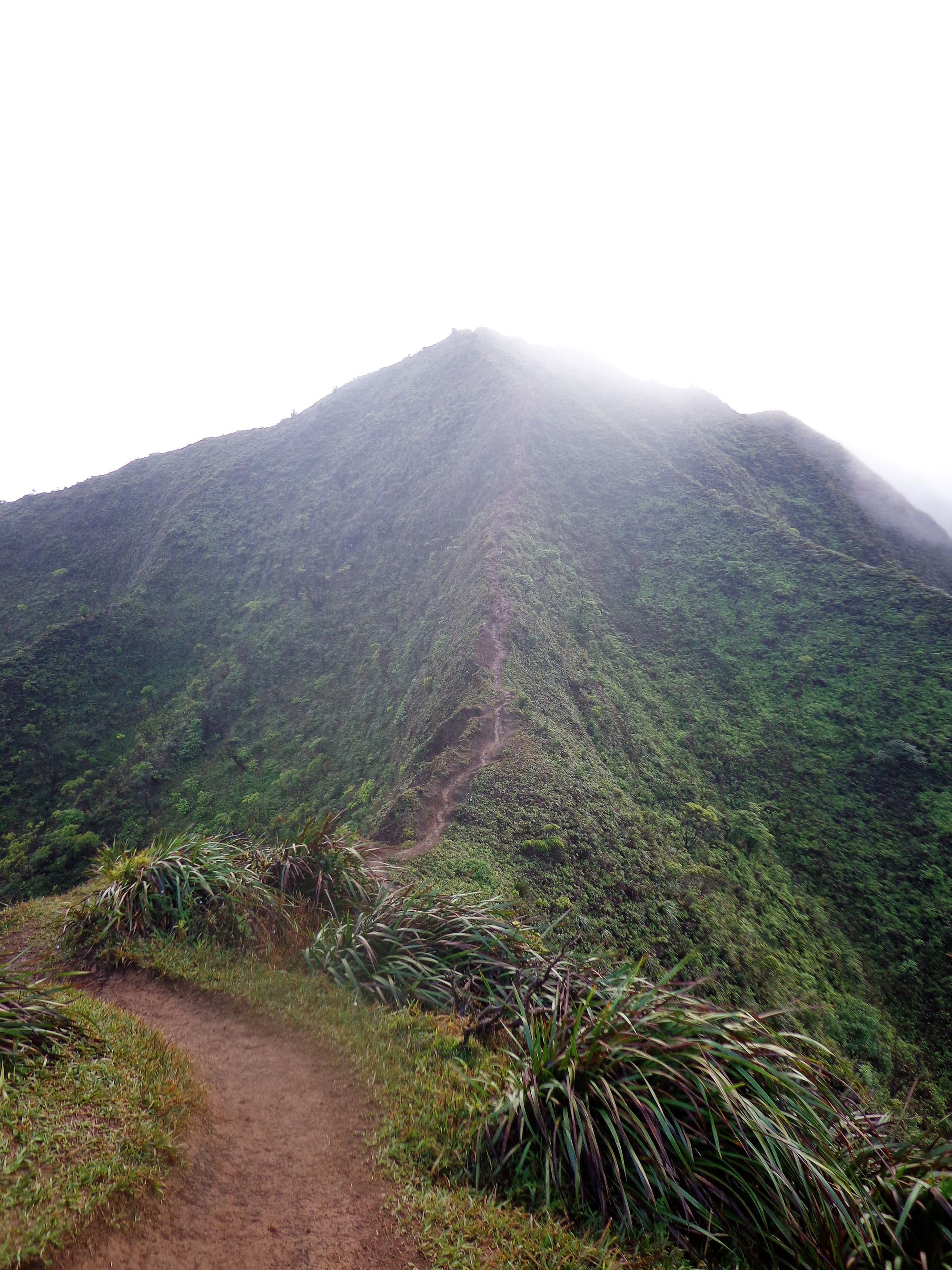
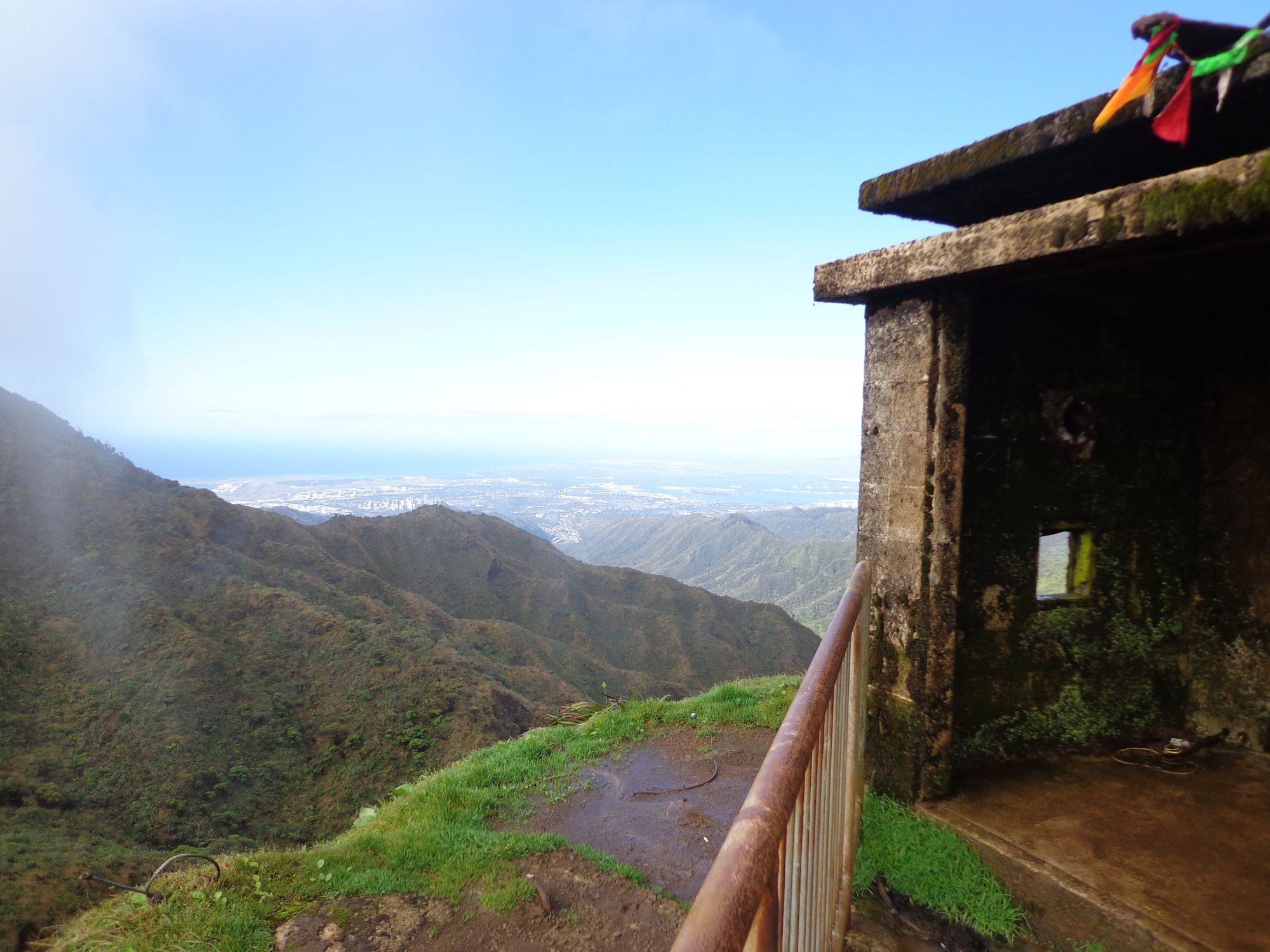
I reached the tower at 3 hours 8 minutes into my hike at a distance of 4.8 miles. I spent about a half hour exploring the tower and adjacent areas...and of course the stairs. I also found a ladder that I was able to use to get on top of the tower itself for some more stunning views. I departed the tower at 0955.
The hike down is a knee killer. The narrow trail forces your legs into some odd angles and the grade puts a lot of pressure on your knees. The hike back through the initial parts of the trail was really nice with the afternoon light. I was back to the trial head at 1215 for a total round trip time of 6 hours.
Conclusion
This hike was a fun and tough one. Minus the altitude, this rivaled many of the easier 14ers I have hiked in Colorado.
You definitely need to be in shape for this one but really no special equipment is required. Though having some of the equipment I listed above may make for a more enjoyable hike.
As others have said, be ready to get your feet soaked. You will have to go through running rivers if you hike this during the rainy season. The river is seasonal though, so perhaps in other months you can stay dry on this one.
